Policies map
- View an interactive online version of the Local Plan Policies Map:
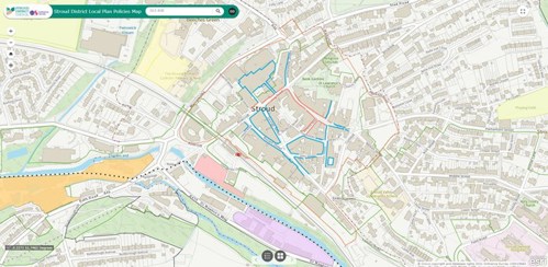
Please note: this interactive platform shows outdated conservation area boundaries, as they existed in 2015 when the Local Plan was adopted. To check up-to-date conservation area boundaries, please use the Planning Constraints Map.